
These days, who hasn’t used Google Maps? It has become an indispensable tool for navigation. Powered by Google Mapping Coverage, it’s a revolutionary app that makes life more convenient for millions. Few people realize, however, that Google Maps Street View is more than just navigation. It’s useful for research, virtual walking tours, and even social media.
Beyond navigation, Google Maps has also become a trusted way to leave reviews for local businesses. This raises an interesting question: How much of the world has Google mapped using Street View and Google Earth?
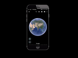
The answer might surprise you. A recent Google report reveals the company has photographed over 10 million miles of Street View imagery. It has also captured more than 36 million square miles of Google Earth imagery. Among these, the Google Earth data is especially impressive. Google claims to have mapped 98% of places where people live worldwide. This achievement highlights the immense scale of the company’s commitment to mapping.
The Street View data is equally noteworthy. Google’s coverage far surpasses its nearest competitor, Apple. Although Apple has launched a similar project, it remains millions of miles behind. Even if you don’t use these services daily, Google’s dedication to mapping is undeniable.
In today’s digital age, visual content is becoming increasingly important. While text continues to dominate, imagery plays a critical role in communication and business. If you haven’t explored Google Mapping Coverage yet, now is the time. From detailed Street View tours to global aerial maps, the progress is remarkable.
Take a moment to explore Google Earth or Street View. You’ll gain a new appreciation for the world’s most comprehensive mapping system—and the technology behind it.
Used with permission from Article Aggregator